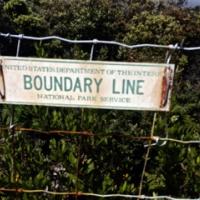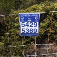
Designing, geo-locating, fabricating and Installing 20 aluminum Emergency Location Markers (ELMs) along 10 km of boundary fence in Hawaii Volcanoes National Park to assist lost visitors.
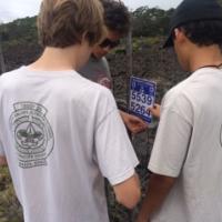
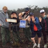
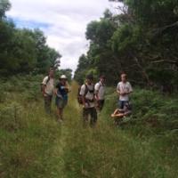
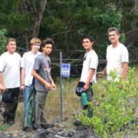
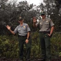
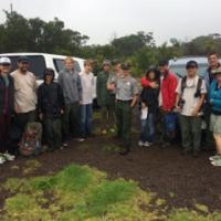
For my Eagle Scout Service Project, which supported the adoption of the US National Grid as a new interoperable map format, I planned and developed an Emergency Location Marker initiative in coordination with rangers at Hawaii Volcanoes National Park, obtaining the necessary permissions over a 7 month period. I supervised the design, geo-location, fabrication and installation of 20 aluminum signs covered with a vinyl ELM decal each with a unique geo-location, applied to it. On the project work day, which coincided with National Trail Day (6.6.2015), I oversaw two crews consisting of 5 scouts and 1 friend, 4 scouters, 3 other adults and 2 Park Rangers who worked a combined 198 man-hours installing the 20 ELM's every 500 meters along 10 km of Hawaii Volcanoes National Park boundary fence where visitors have often become lost.


